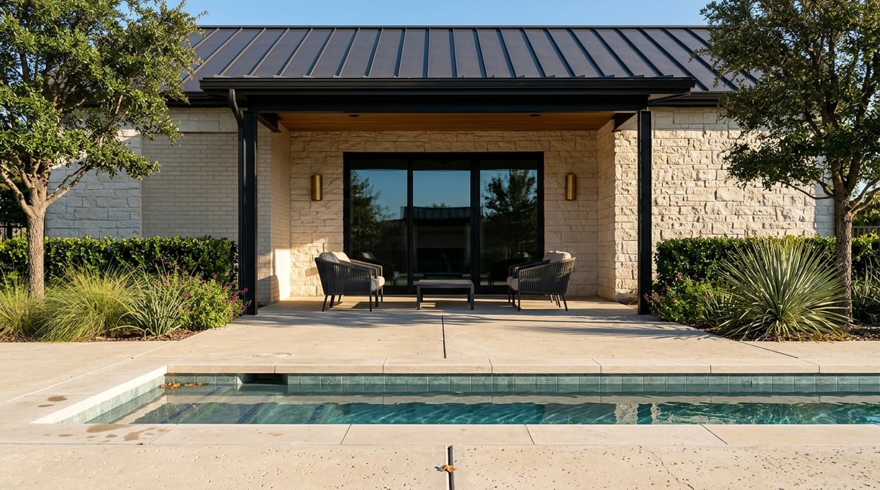
Buying a Hill Country home is exciting, but it also raises practical questions about land, access, and where your true boundaries sit. In Boerne and Kendall County, property lines can twist with terrain, fences may not match legal lines, and easements can affect how you use the land. If you want confidence before you close, a Texas property survey is one of the smartest steps you can take.
This guide explains what a survey shows, which survey you need, how the process works in Boerne, and what to watch for with wells, septic, access, and floodplains. You will finish with a clear checklist so you can move forward with confidence. Let’s dive in.
What a property survey shows
A property survey is a professional measurement and map prepared by a licensed Texas Registered Professional Land Surveyor. It ties your legal description to the ground and typically shows:
- Property boundaries and corner monuments
- Improvements like the home, driveway, and visible fences
- Recorded easements and rights-of-way that can be located from public records
- Measured distances, bearings, and relevant notes
- Sometimes topographic details if ordered
In the Hill Country, surveys help confirm setback compliance, reveal encroachments, and identify easements for access, drainage, or utilities. They also help your lender and title company evaluate risk and finalize coverage. Surveys do not resolve title ownership disputes or address mineral rights. Those require title research and insurance.
Survey types and when to use them
Boundary survey
A boundary survey locates property lines and corners, shows improvements relative to those lines, and notes visible encroachments. This is the most common option for residential purchases.
Mortgage or loan survey
This is a simplified survey often used to satisfy lender requirements. Detail can vary by lender, so ask what level of information they expect.
ALTA/NSPS Land Title Survey
This is a high-detail, standardized survey used for commercial properties, large tracts, or residential deals with complex title matters. It addresses title exceptions and recorded easements in greater depth. Most single-family buyers do not need ALTA unless your lender or title company requires it.
Topographic survey
A topo survey shows elevations, contours, and site features. It is helpful if you plan construction, regrading, retaining walls, or new driveways.
Improvement location or as-built survey
This documents where improvements sit after construction. Some local permitting steps may call for it.
Plats vs. surveys
Many in-town and subdivision lots are platted. The recorded plat provides lot dimensions, streets, and easements. A new survey on a platted lot can still confirm where your home and fences sit and identify any encroachments.
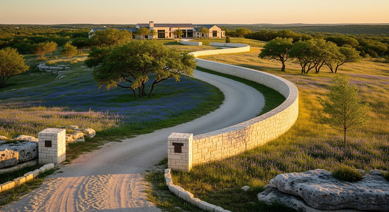
Boerne and Kendall County specifics
Land descriptions: platted vs. metes and bounds
In-town and subdivision lots often rely on a recorded plat. Rural acreage commonly uses metes-and-bounds descriptions. Metes-and-bounds tracts can require more research and field work to locate original monuments and reconcile older deeds.
Terrain, drainage, and floodplains
Hill Country parcels can include ridges, draws, and seasonal creeks. These features affect drainage and may be subject to recorded drainage easements. Flood zones can cross a portion of a property and can influence insurance requirements and building plans. Ask your surveyor to note floodplain boundaries if relevant, and review local floodplain rules before you finalize plans.
Wells, septic, and utilities
Many properties outside city limits rely on private wells and on-site sewage facilities. Surveys often show visible well and septic locations if they can be identified in the field or from records, but they do not certify condition or compliance. Verify well and septic permitting with the appropriate local or state agencies, and order separate inspections. For utilities, surveys show visible evidence and recorded easements when they can be located from public records.
Access and shared driveways
Long private drives, gated entries, and shared access are common in the Hill Country. A survey can confirm if you have legal access to a public road and whether access easements exist. Review any shared driveway agreements for maintenance obligations and whether the easement supports your intended use, including utility or emergency vehicle access.
Easements and mineral rights
Recorded easements for utilities, pipelines, drainage, or conservation can limit where you build or fence. Your survey can identify recorded easements that are locatable from public records and field evidence. Mineral ownership is a separate matter in Texas and often severed from the surface. Work with your title company and review the deed and title commitment to understand any mineral reservations and surface-use rights.
Fences and boundary disputes
Fences often do not match legal boundaries. A survey lets you see where fence lines sit relative to property lines. If an encroachment appears, discuss options with your title company or attorney. Common solutions include boundary agreements, moving improvements, or negotiating with the seller.
Permitting, platting, and conservation overlays
Small subdivisions and some rural tracts can be subject to county or city rules for platting and building permits. Some parcels may also have recorded conservation easements or be near protected recharge areas. Your title commitment and a detailed survey can help identify recorded restrictions that may affect your plans.
Timeline, costs, and who pays
Surveys are performed and certified by a Texas Registered Professional Land Surveyor licensed by the state. The timeline and cost vary based on size, terrain, existing records, and the level of detail needed.
- Typical timeline for a simple residential boundary or loan survey: about 1 to 3 weeks from order, depending on workload, weather, and record research.
- Complex tracts, ALTA surveys, or parcels with lost corners or extensive research can take several weeks to a few months.
- Cost depends on acreage, number of corners, terrain, travel time, and whether ALTA standards or topographic work are included. Rural, metes-and-bounds tracts usually cost more than small platted lots.
- Contracts often specify who orders and pays. Lenders may require a survey, and the buyer commonly pays. A seller may provide an existing survey, sometimes with a signed affidavit stating no changes since the survey date. If conditions have changed, you may need an updated survey.
The best approach is to get quotes from two or three local RPLS firms before you go under contract if possible, and confirm exactly what is included.
Step-by-step: how your survey gets done
- Gather documents. Ask the seller and title company for the deed, any recorded plat, and any prior surveys. Share them with your surveyor.
- Title research. Your surveyor reviews public records for deed lines, covenants, and recorded easements that affect the property.
- Field work. The crew locates monuments, measures corners and distances, and maps visible improvements and evidence of easements.
- Drafting and certification. The surveyor prepares the drawing and legal certification and delivers it to you, your lender, and the title company if needed.
Buyer checklist for Hill Country surveys
- Ask for existing surveys early, plus the recorded plat and deed.
- Include a survey contingency or time to obtain an updated survey in your offer.
- Order a boundary or loan survey for most homes. Consider ALTA only for larger or more complex transactions if your lender or title company recommends it.
- Provide the surveyor with the title commitment and any prior surveys you obtained.
- Request corner staking if you plan to build a fence or improvements.
- Ask the surveyor to note floodplain boundaries if relevant and review flood maps with your agent and title company.
- Verify well and septic permitting and condition with the appropriate agencies and order separate inspections.
- Review the survey with your title company to confirm how easements will appear on the title policy and whether any survey exceptions will remain.
- If you see an encroachment or access concern, address it before closing. Options can include boundary agreements, relocation of improvements, or contract negotiations.
Seller tips to prevent delays
- Share any existing survey and recorded plat with your listing agent and buyers.
- If you suspect a boundary issue, consider ordering a survey before listing.
- Disclose known easements, encroachments, or access arrangements.
- Keep digital copies and certified originals handy for the title company.
Common pitfalls we help you avoid
- Relying on fence lines. Fences do not always follow legal boundaries.
- Skipping access verification. Shared drives and private roads need written, recorded easements.
- Ignoring floodplains. Even partial flood zones can affect insurance and building plans.
- Overlooking recorded easements. Utility, drainage, or pipeline easements can limit where you build.
- Waiting too long to order. Surveys can take weeks, especially for rural tracts or complex records.
Work with a licensed Texas RPLS
Always confirm that your surveyor holds an active Texas license and has recent Hill Country experience. Local knowledge of Kendall County records, terrain, and typical easements helps reduce surprises and keeps your closing on track.
Ready to buy in Boerne?
A clear survey gives you confidence, protects your financing, and helps you plan your life on the property. If you want a seamless process, local guidance, and help coordinating your survey with your lender and title team, connect with Blain Johnson for trusted support from contract to close.
FAQs
What is a property survey and why Boerne buyers need one
- A survey maps boundaries, improvements, and recorded easements so you can confirm access, setbacks, and potential encroachments before you close in Kendall County.
Which survey type should a Boerne homebuyer order
- Most buyers order a boundary or loan survey, while ALTA is typically reserved for commercial, large tracts, or when your lender or title company requires more detail.
Will my survey show flood zones on a Hill Country lot
- Your surveyor can note floodplain boundaries if requested, and you should review flood maps since flood zones can affect insurance and building plans.
Do surveys in Texas show wells, septic, or underground utilities
- Surveys show visible features and recorded easements when identifiable, but they do not certify system condition and may not show underground lines without records or locates.
What if the seller will not provide an existing survey
- You can order a current survey as a contract contingency, or negotiate for a seller credit, price change, or a requirement that the seller provide one.
Who pays for the survey in a Kendall County transaction
- Your contract controls it; buyers often pay when a lender requires a survey, though parties can negotiate responsibility during offer and counter stages.